Mapping a ‘Citywide Selfie’
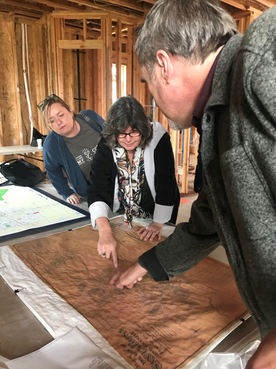
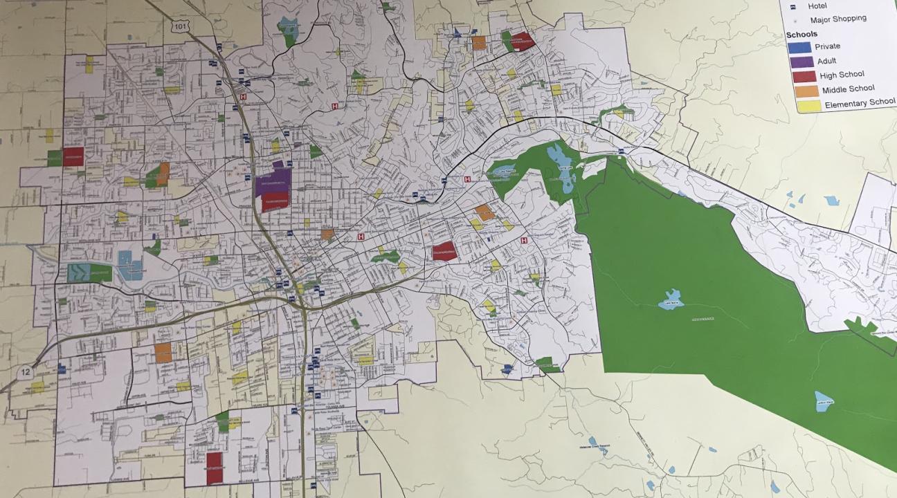
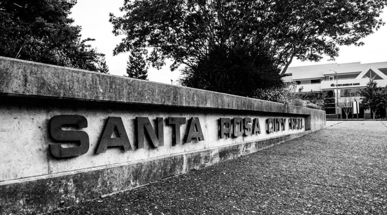
The Santa Rosa Neighborhood Heritage Mapping Project shares community knowledge and stories about everyday neighborhood places from all over this rapidly growing city. “The overall goal is to see to what extent we can use this medium of digital online community mapping to create a more detailed and shared sense of place for the people of Santa Rosa,” Dr. Purser explains. Within each part of the city, everyone has their own neighborhood story to tell, and this gives each individual the opportunity to share what was or is important to them about those specific places.
“Community engagement is important to me because I am an applied anthropologist,” Dr. Purser said. “And I work in a field that is all about trying to understand how other people make their world work. We don't do this just for the intellectual value of the information, but because what work we are doing has value for the people you are working with.” This means that when needs change for the people you are working with, your project has to change as well. That has definitely happened for the Santa Rosa mapping project, over the past two years.
In October of 2017, disastrous fires hit Northern California and the mapping project shifted and expanded. Dr. Purser added a layer of characteristics and identities to the map while including places such as Coffey Park and historical monuments that were taken by the fire.
A Coffey Park resident, Pamela Van Halsema, who is rebuilding her home after it burned down from the fires, shared a memory that holds a special place in her heart that she hopes others can relate to.
“It’s a community gathering place; I raised my children in this neighborhood. We called this park ‘the walking park’ because it was the one in walking distance from our home. We often walked or rode bikes to this park to play on the play structures.” said Van Halsema.
Memories of those places mapped throughout the city is what Dr. Purser has in mind, to be placed in this mapping project, creating something that will be remembered by the city’s residents for years to come. It will also help new residents explore how much things have changed or stayed the same, over the city’s long history.
Starting the Santa Rosa mapping project back in 2014, Dr. Margaret Purser, a professor in the Department of Anthropology, did not anticipate what this project would become. Dr. Purser worked for years to establish a game plan and solid foundation for what she hoped this project would look like, and slowly but surely with dedication and perseverance, she watched the mapping project take shape.
Dr. Purser, a resident of Santa Rosa herself since 2010, hopes to shine light on the many diverse communities living in the city today, from long-time locals to newcomers. She hopes to encourage other residents to explore the importance of meaningful places in and around their community and how it impacted them as part of the city.
This is not Dr. Purser’s first mapping project. Dr. Purser contributed to a mapping project in Fiji for The Fiji National Trust as she described “in their efforts to get their colonial capital of Levuka listed on the UNESCO World Heritage List.” This goal was attained in 2013.
One person cannot accomplish a project of this scale alone. One of Dr. Purser’s undergrad classes, Material Culture Studies (ANTH 444, a methods class), did their research on small neighborhoods all over the city. During their studies, they visited Journey's End mobile home park, where they had the opportunity to speak with locals about how their neighborhood was one of the oldest landmarks in the city before it was mostly destroyed by the fires. Additionally, Computer Science students and the Geography department helped create online mapping for residents to access through an app. The Sonoma County Geographic Information System (GIS) office also provided valuable support.
Author: Cynthia Cushing


